[

      {
        "name": "Top Stories Video Pair",
        "insertPoint": "7",
        "component": "17087298",
        "parentWrapperClass": "fdn-ads-inline-content-block",
        "requiredCountToDisplay": "1"
      }

    ]
On Samoa Road there is a mile marker that always puts a smile on my face: Hum Co 0. The zero line is across the street from a not-so-secret trail, opposite the Samoa Boat Ramp and campground. A quiet path to the beach is sandwiched between dune restoration, a U.S. Coast Guard station and trails driven by joyous off-road enthusiasts.
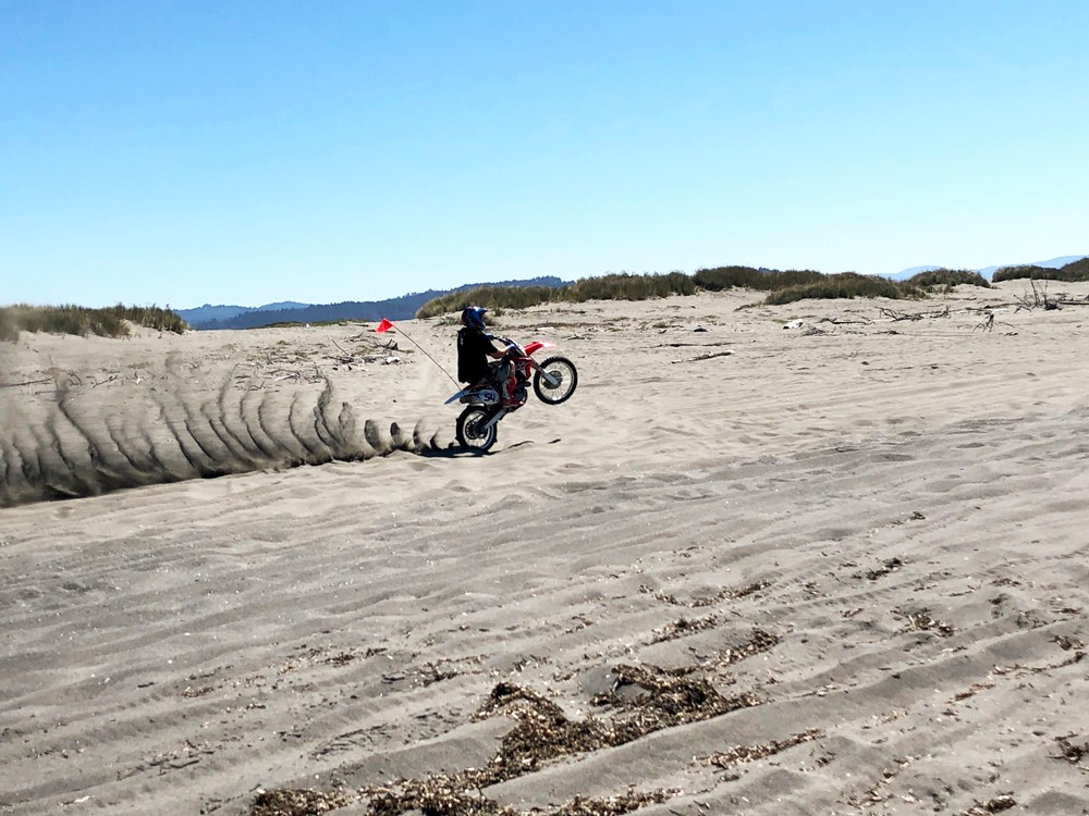
The tip of the Samoan peninsula holds a special treat. A large portion of the 300-acre Samoa Dunes Recreation Area is devoted to motorheads. It's one of a dozen beaches left on the California coast where off-highway vehicles (OHVs) can drive the sands. Adolescents in mohawked helmets learn to navigate their vehicles in a training area before hitting the main trails. Families play follow the leader, parents with motorized ducklings winding their way through grassy dunes.
Although content to spectate, I am a hiker. The spouse and I particularly enjoy the hidden gems like the Sidestep. Although perpendicular to the road normally makes a trail easy to find, this entrance is camouflaged by bushes and less used, as the campground across the road is usually filled with boaters and off-roaders with little interest in hiking. The Sidestep is a path made for us.
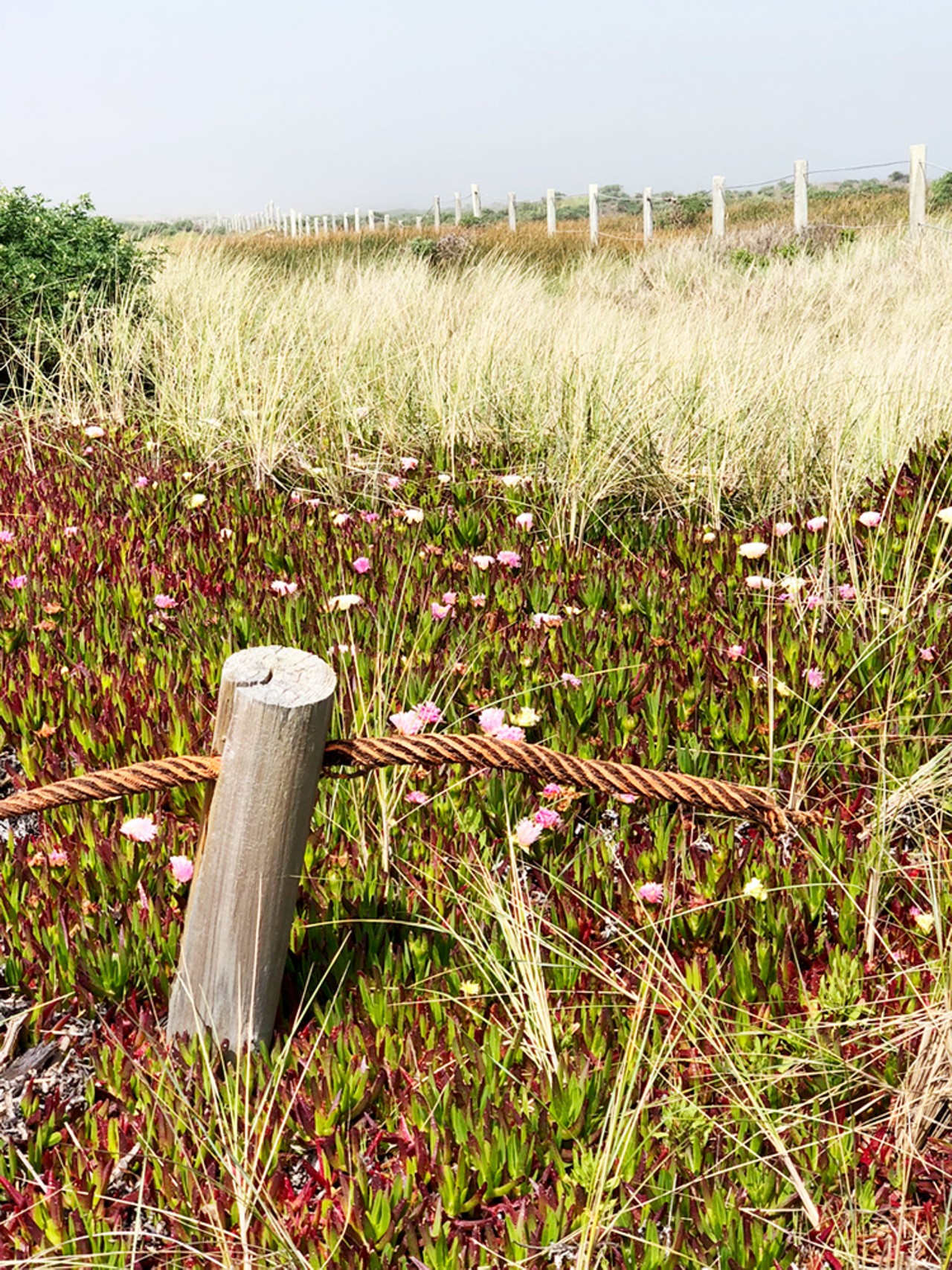
We wind through the pedestrian gate to enter a fenced corridor. The path less taken provides glimpses of all Humboldt Bay has to offer. On my left, the former Coast Guard training range is filled with wind-whipped grasses on low dunes lined by an ancient chain link fence. On my right, Samoa Field is used by paragliders whose colorful chutes float across a vivid blue sky, but not in the intermittent fog that swirled through the dunes. The occasional throaty roar of a cranked up hot rod escapes the adjacent drag strip. Despite of all this, it is a peaceful path with little interruption.
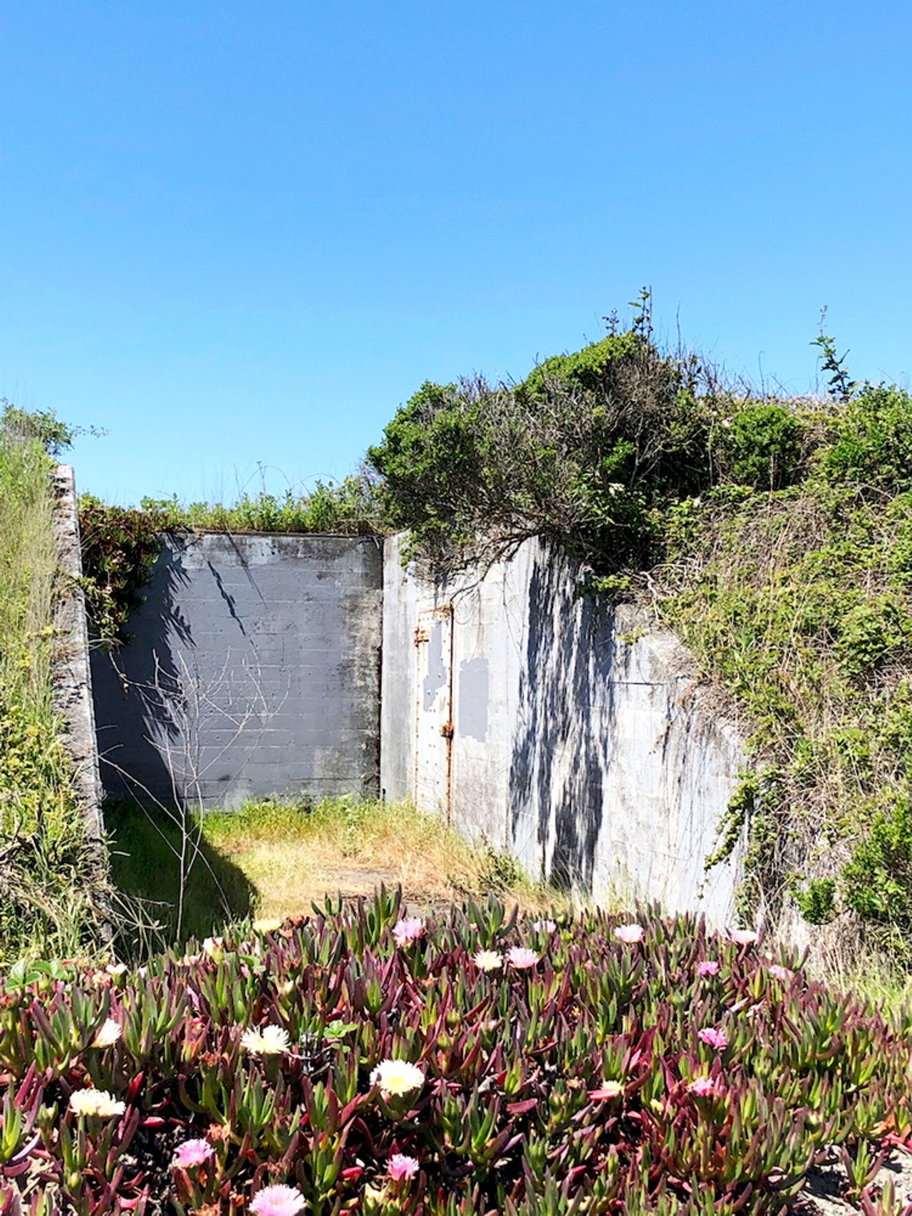
The rusty wisp of fence still standing between me and the airstrip holds a faded warning that the area is closed for habitat restoration. The carpets of blooming greenery contrast with hollows where sand still holds sway. Delicate trackways stitched its borders, a healing habitat amid planes, racers, four-wheelers and a few humble hikers.
The corridor does not wind side to side. Each dune has been conquered by the parallel lines of decayed wire. The remnants of chain link disintegrating into the sands are fascinating — delicate lines tracing their way in and out of sight, eventually falling into ruin. Wires twisted into odd shapes provide sculptural delights along the way; one mangled section presents a plane frozen in freefall.
A crunch underfoot reveals its past as a target range. I investigated a patch of broken skeets. History is never far away, as evidenced by the bunkers built here during World War II. On top of a gentle dune, I turned to see the ghost of a once bustling lumber industry. The bay that fed the mighty timber hunger of a growing nation now hosts a lone sawdust plant that chews up remnants. As I ponder, a massive ship slides through shining waters. Commerce still holds some sway.
We continue, undaunted by a prickly bush that has staked a claim to the center of the path, snaking our way along a thin line made by previous hikers. My companion stops to marvel at a massive redwood carcass. Did it grow here centuries ago and is just now reaching the end of its decay? Or was it storm-tossed this far inland? Either way, great forces are at foot.
I still can't see the ocean, but sun, salty air and unseen crashing enthralls us. Our pace quickens as we each strain to be the first to see the waters. And there it is. The Pacific Ocean makes me catch my breath each time I see it. I was the same with Lake Michigan, the Mississippi and the little spring-fed river that I once lived along.
We reach the end of the corridor, where the entrance is clearly visible with "No Vehicle" signs and a pedestrian gate. A small dip in the sands rises to meet the last line of dunes before giving way to water. We cautiously cross over the vehicle trails, since we can hear them coming but their field of vision is greatly reduced by dunes. Some quick steps and we reach a trail marker set at the edge of tall sea grass. I pin it on my map app, as the trailhead can be easily lost from the beach. I once passed it up and added another mile to our walk. Neither one of us minded.
A scan north and south shows off-roaders' intersecting tire tracks weaving patterns in the hard sands of the tidal zone. Some tread marks disappear into the mist as the outgoing tides smooth out others with sweeping arches of surf. We spend a few hours walking lazily, making sure that four-wheelers and dirt bikers can drive through the surf without worrying about running us over. This is their domain and we were happy to share.
We head back to our not-so-secret corridor and zig-zag through the pedestrian gate. The ocean quiets as dunes absorb its roar. The occasional buzzing of a nearby off-roader dips in and out like a stalking mosquito until it, too, falls silent. We stroll along the path in the afternoon sun, surrounded but alone. We pause to look at the bay and the campground. The mountains rise behind Eureka, mists mingled with low clouds. We move on reluctantly, hunger now driving us on. Too soon, we're at the Hum Co 0 marker again. We climb back into the van, grinning.
Meg Wall-Wild (she/her) is a freelance writer and photographer who loves her books, the dunes of Humboldt, and her husband, not necessarily in that order. When not writing, she pursues adventure in her camper, Nellie Bly. On Instagram @megwallwild.
Speaking of...
-
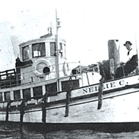
M/V Madaket: 112 Years Young
May 12, 2022 -
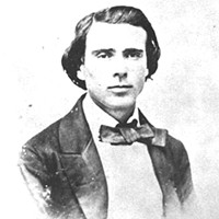
Josiah Gregg in California
Apr 28, 2022 -

Josiah Gregg: PrairieYears
Apr 21, 2022 - More »
Comments
Showing 1-1 of 1
more from the author
Latest in Get Out


Readers also liked…
-
A Walk Among the Spotted Owls
- Apr 27, 2023


